

Mt. Yinghan
Hiking Guide

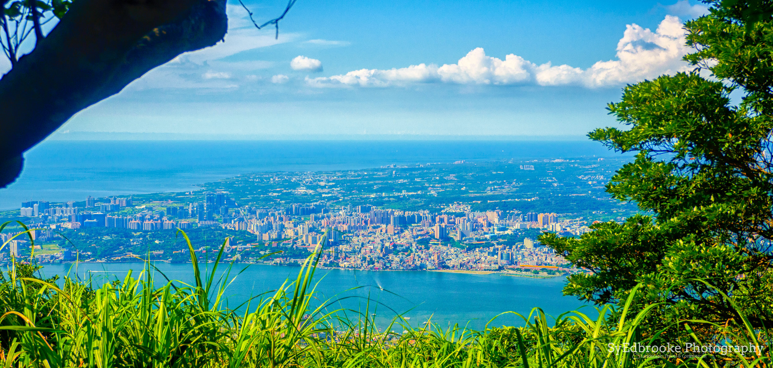
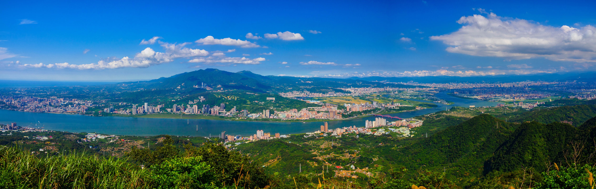
This is a unique hike that takes you from one side of New Taipei City to the opposite side of the river. It features 360 views of Taoyuan, Banqiao, YangMinShan, Dansui, Bali and Taipei City. On a clear day you can see all the way to Keelung mountain, sadly these days have been few and far between lately. Getting there is fairly simple to with a one MRT transfer and a bus ride. Take the orange line to Luzhou and straight out of exit 1 is a bus stop. Wait there for 020, this bus takes you all the way to the trail entrance.
Once you make it to the bus stop there is a nice treetop walkway to the very start of the hike. From this vantage you get a nice view of the buddhist temple on the mountain side and a view of Banqiao and Tauyuan. It's a pleasant start to the hike, but don't be fooled, from the beginning sign the trail starts pretty steep!

View from the treetop walkway leading to the trail entrance. f5 , ISO 200

The buddhist temple near the start of the Mt. Bali hike entrance. f11 ISO 100, 1/13, 24mm

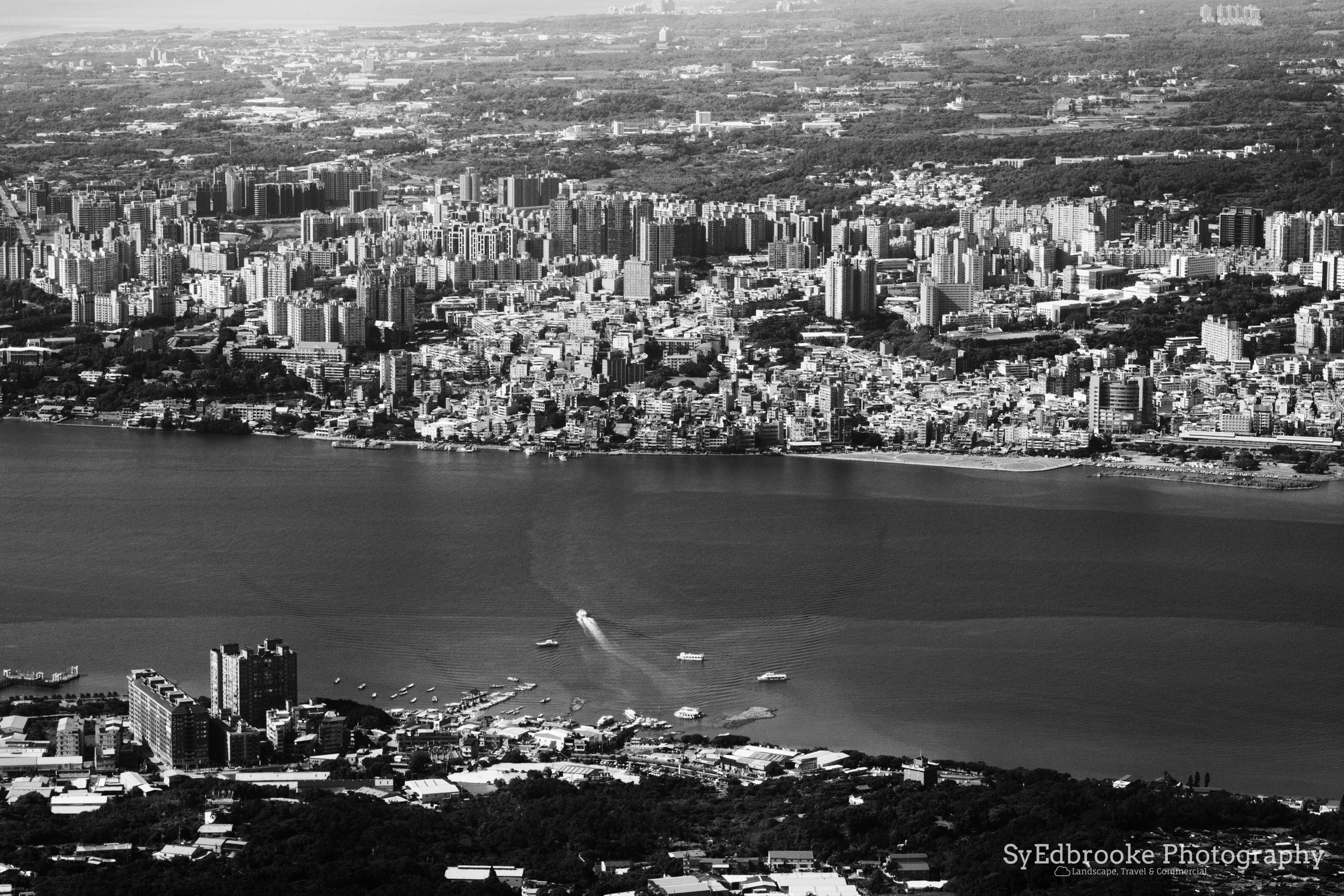
Looking back over the start of the hike towards New Taipei City. f13, ISO 200, 1/30, 24mm
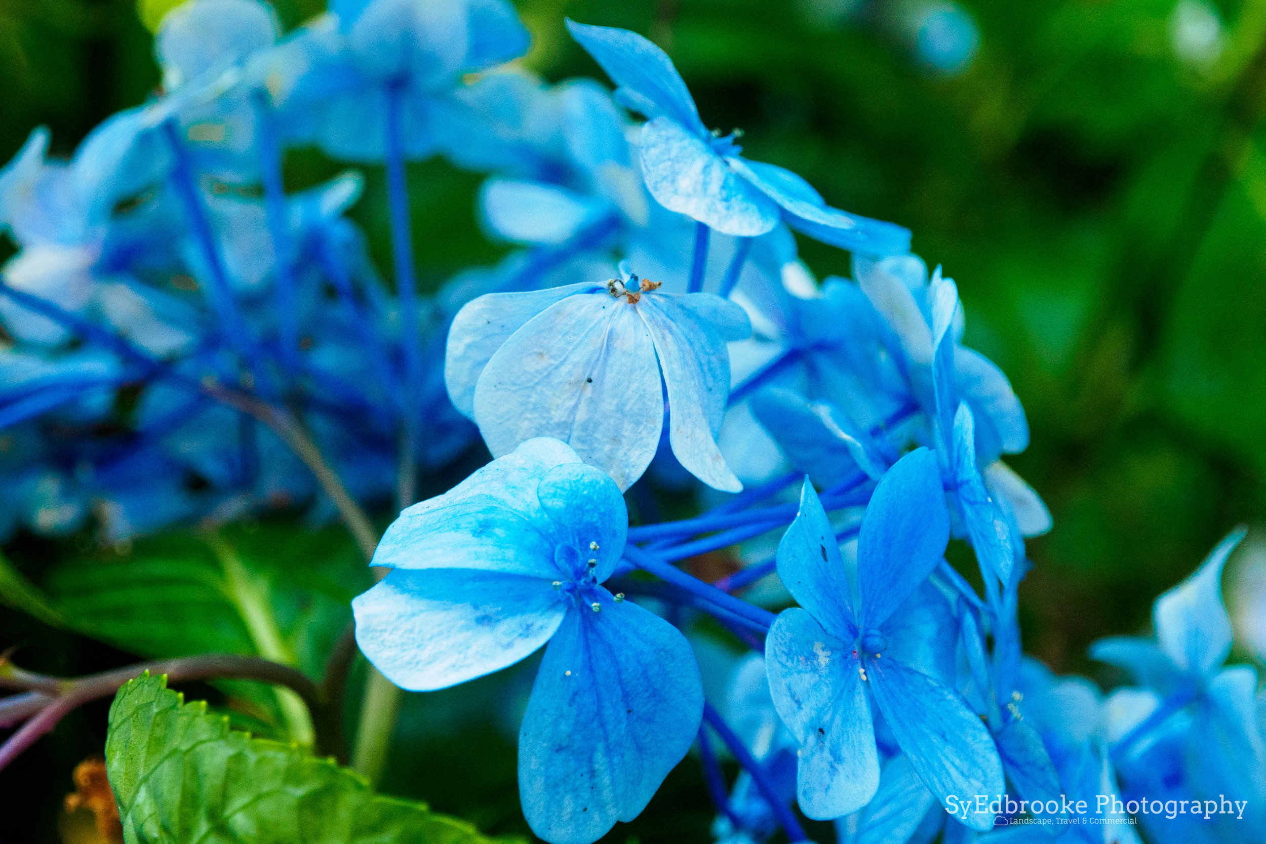
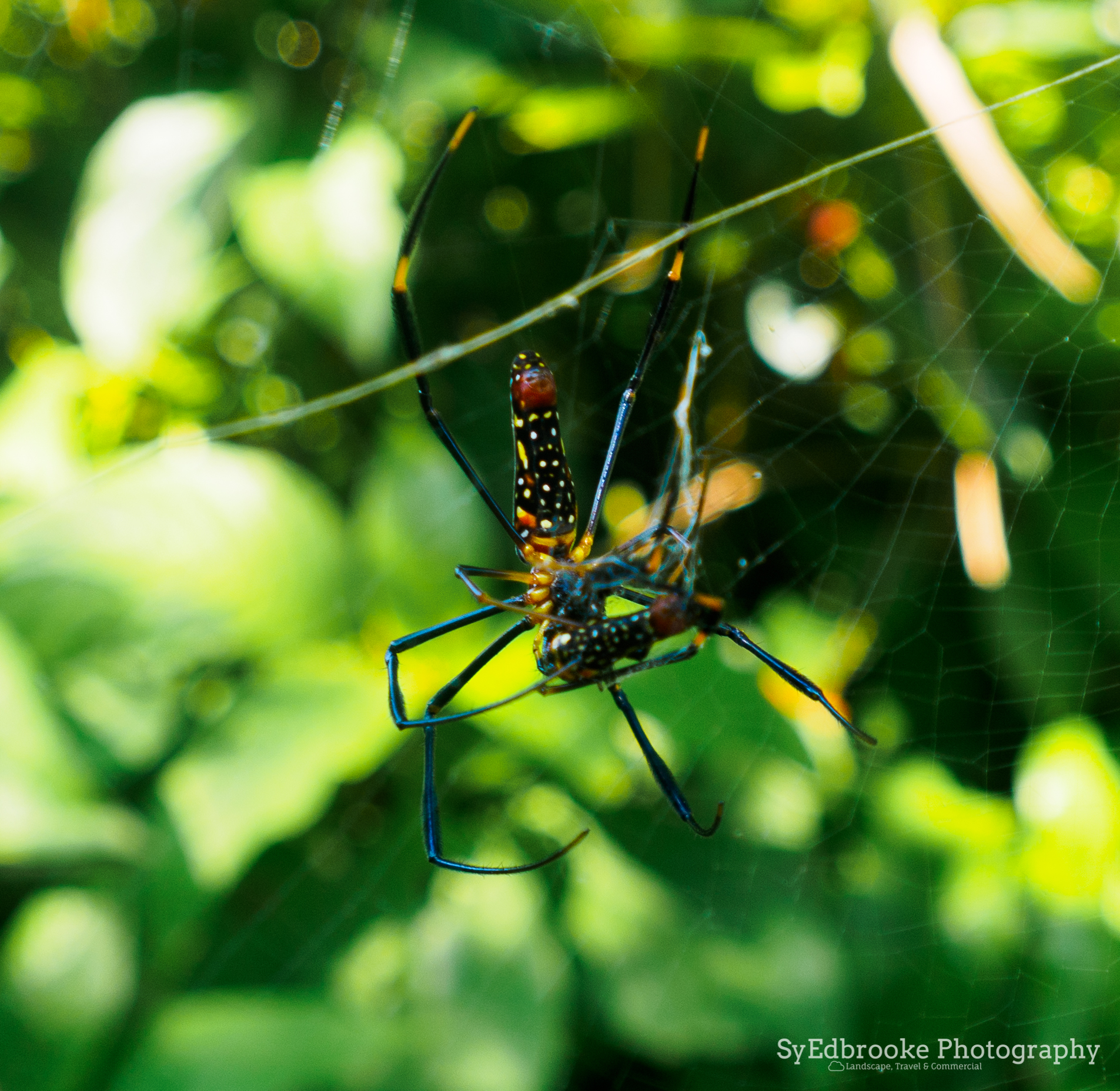
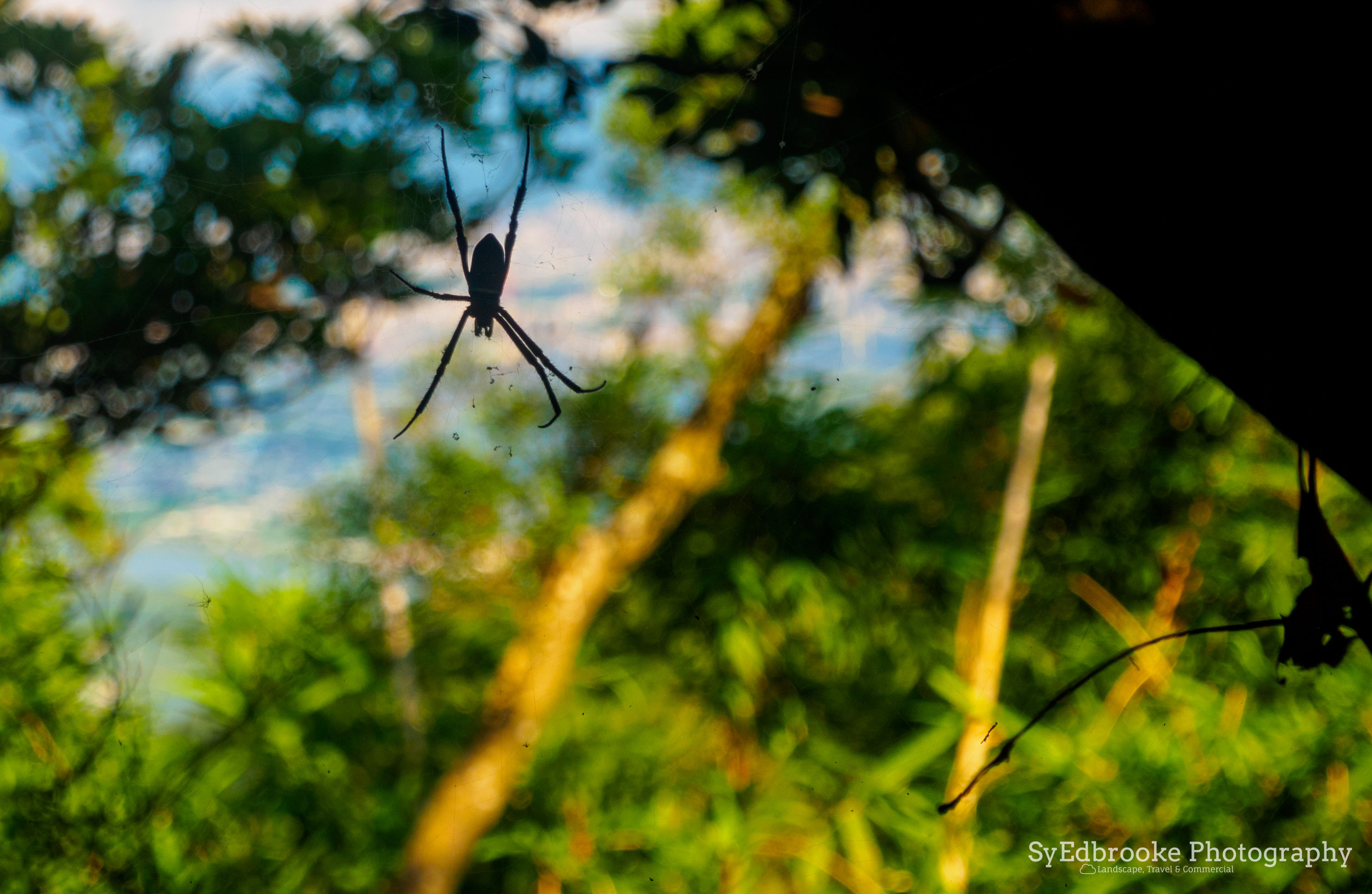
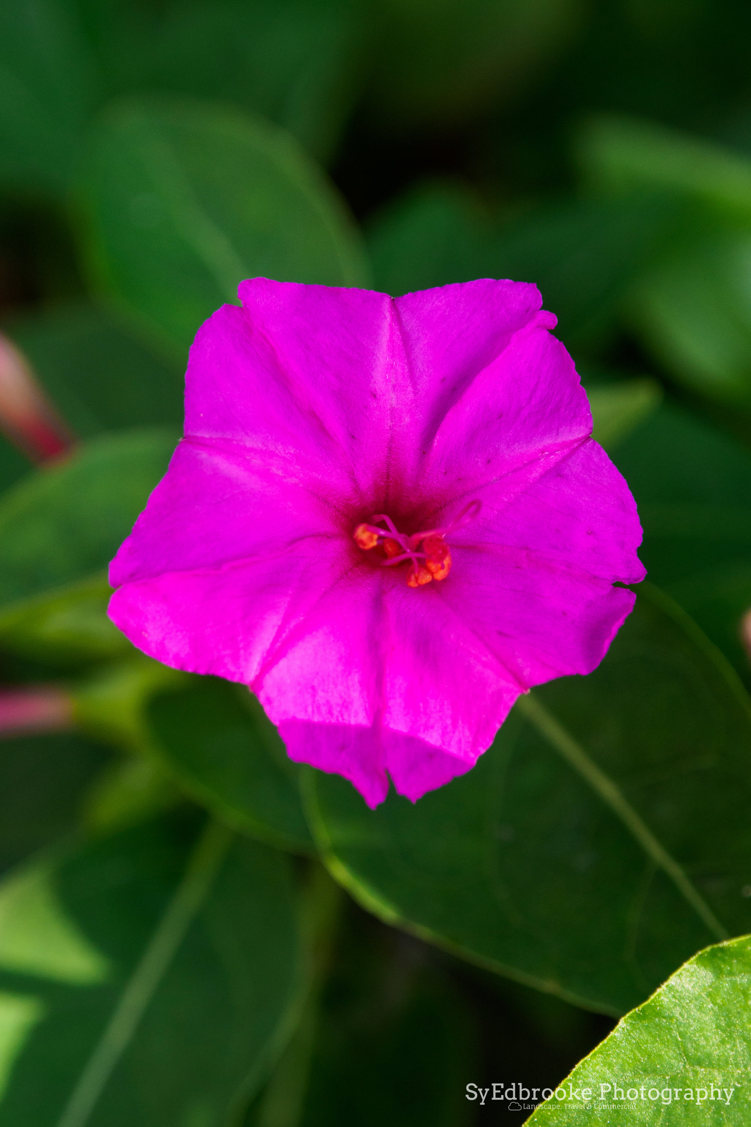
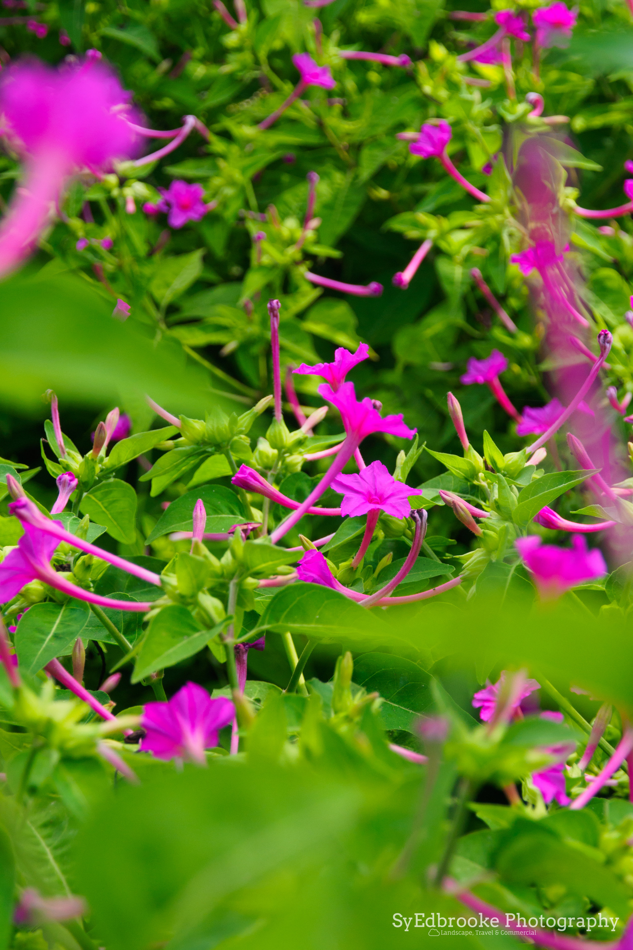
The trail up is fairly well covered up so it can be tricky to catch a glimpse of the way up, that said if you have a macro lens handy there are plenty of chances for interesting macro pictures of the local flowers and insects. I've hiked a lot of the mountains in northern Taiwan but this is the only place I've seen so many giant spiders right on the trail. Very creepy but interesting looking none the less. There are plenty of butterflies and grasshoppers if you are able get close enough to get a sharp picture.
It's a nice change of pace compared to the views later on in the hike. The path winds up the mountain and at about midway point there is a larger flower section, with what I only can guess is an abandoned tourist information centre. It's a pretty interesting spot and not many hikers venture onto this part of the path. It has some really good compositions to offer of Taipei City.

All of the above pictures were shot with my hybrid 24-100mm macro lens at f4.7, ISO 100 43mm.

The abandoned tourist info building. f11, ISO 200, 1/80, 24mm

A view looking through the strange structure surrounding the building. f6.3, ISO 200, 1/500, 80mm
From here the trail weaves up and down various peaks and ridges towards the main summit at Mt. Yinghan. It's fairly easy going compared the start of the trail which is pretty vertical. Depending how fast you walk it, it might take anywhere from around 40mins to 1:30mins I would guess. I tend to put my head down and power up to the good views but that's my own style hiking. The trail has fairly decent shade compared to other mountains, but I would still recommend taking sunscreen and a decent hat.
The route up is fairly well build and is stairs all the way to the top. While not challenging or technical, it is a big up and down, so you'll be tired by the time you make it to the top. A decent pair of trainers should get the job done for this hike I'd say.

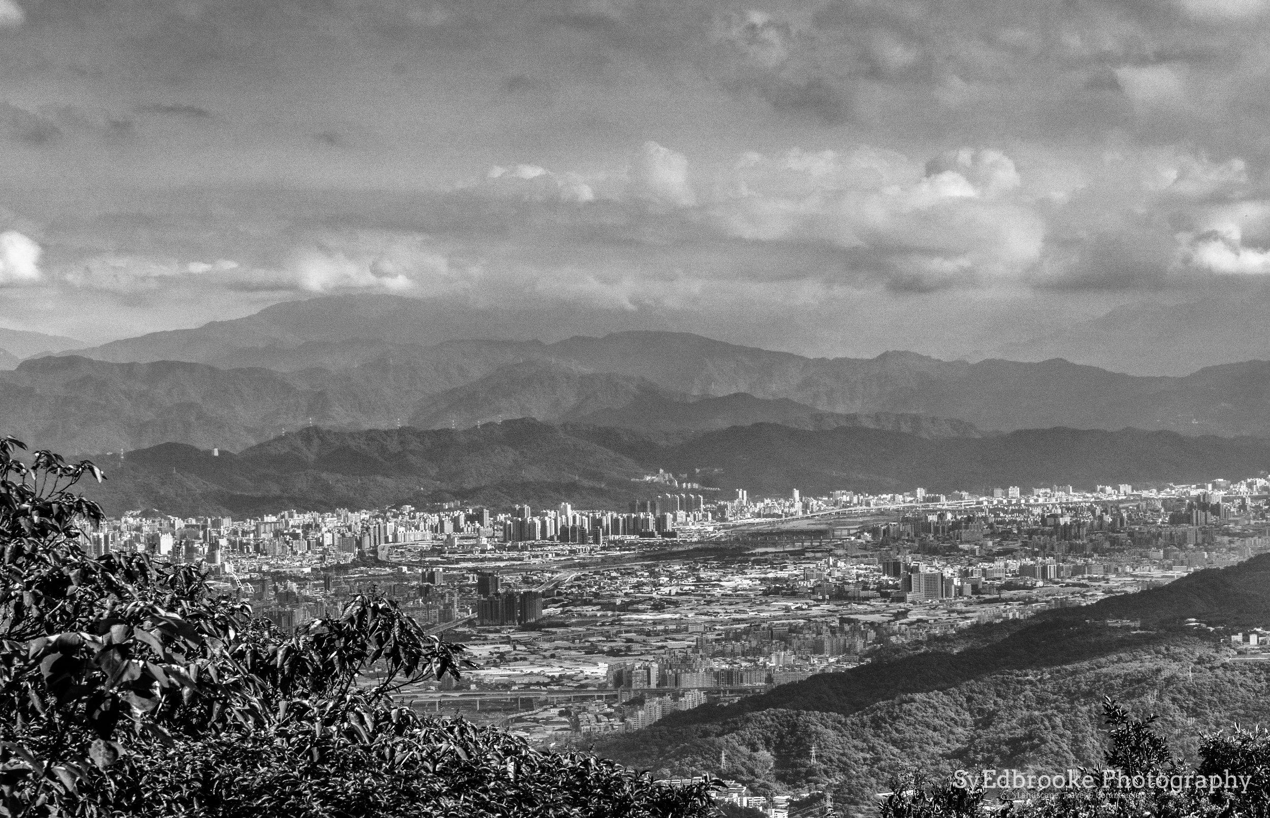
Mt. Datun and YangMingShan Peaks the opposite side of the river. f11, ISO 200, 1/100, 50mm
There are quite a few little rest areas close to, and before the main summit at Mt. Yinghan. This can be handy as many mountains lack those types of facilities normally. It can be a tad crowded on the weekends as you have the various groups of hiking families and all sorts of people out and about. It is always fun to people watch and see the big mix of people out and about on these hikes! I'm always impressed with the older generation here in Taiwan who shoot up these mountains in no time, often faster than people 20, 30 years younger than them!
In terms of photography opportunities, the Summit offers some great panoramic options depending on visibility that day. If you hike around midday or non golden hour time, you can still grab some interesting compositions and convert them to black and white in post production. I tend to use Nik Collection software with a lot of my conversions as it works really well with blown out skies or highlights etc.

A view of downtown Taipei and 101. f6.3, ISO 200, 1/500, 150mm

Looking back towards Banqiao and Taoyuan. f11, ISO 200, 1/80, 24mm
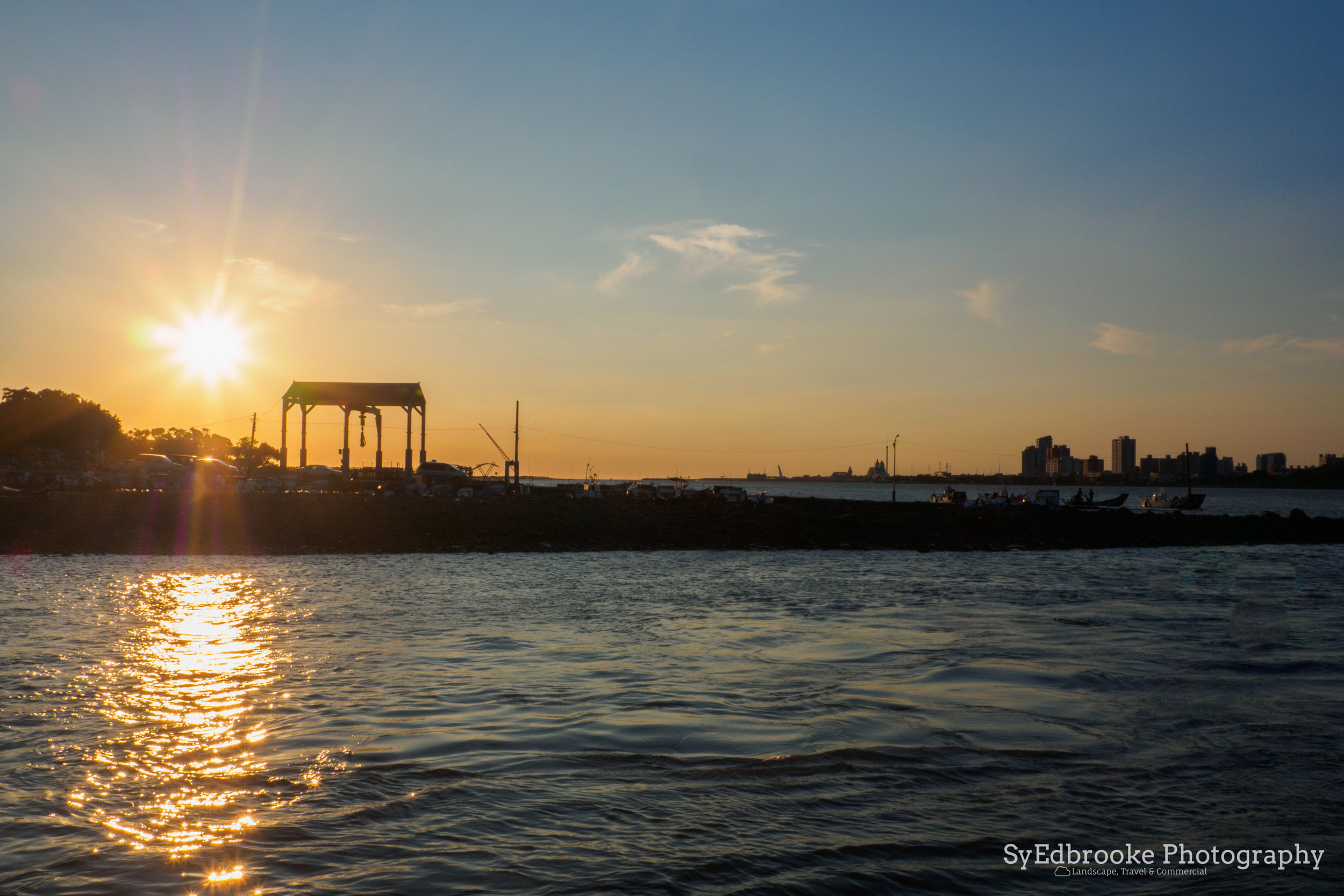
At this point in the hike you have two options, there is a circle route that goes back to where you started or if you are feeling energetic you can hike down the opposite side of the mountain to Bali. I always have had my eye on this particular mountain so I decided to take the long route home and see what I could find along the way. It's a really good golden hour location for sure. That particular day it was blazing hot though, so I decided against waiting around for several hours. If I were to hike it again, I would start a little later on in the day in order to get there for sunset. It's not that big of a deal though, as on the a clear day you'll be treated to views that are worth the sweat and effort any time of day!
There were some different routes down that could be interesting for exploring, but for the purpose of this guide I followed the sign posts for the Bali wharf crossing. It's all downhill and steps from the summit at Mt.Yinghan which is a little rough on the knees, so be careful on and take your time for sure. While being a tough hike, I would say it's worth the effort. As the sign at the top of the mountain says, "Choose the difficult road, and carry a heavy burden; and learn to become a tough man, and leave to practice being a tough man."
It sounds strange translated from Chinese to English but I like the sentiment behind it! Hiking has always been a fun challenge for myself. I like to push myself to hike higher and faster! That said just getting out there and going at your own speed is the best way to enjoy the great outdoors.

An explanation :)

A dragonfly hanging out. I liked the simple contrast on this one. f11, ISO 200, 1/160, 300mm

Almost golden hour glow. f4, ISO 200, 1/640, 80mm
The path down is half steps half road and is fairly lengthy. I'd say it took a solid 2 hours to get from the summit at Mt. Yinghan to Bali. The road winds through small streets and the odd buddhist temple dotted around. I saw several sign posts for a flower garden on the way down but I didn't have the energy to then get lost looking for it, as it was starting to get fairly late. The side of the mountain still offers some nice views of Dansui and YangMingShan. You can clearly see Mt. Datun from the route down and if the weather is nice, it bathes the whole mountain in a lovely golden glow.
Again, given more time there I would stick around more and see what different types of compositions might pop up there.

Dansui & Beitou. f11, ISO 200, 1/500, 80mm

A panoramic shot of Taipei City & New Taipei. f5.6, ISO 200 , 1/500, 24mm
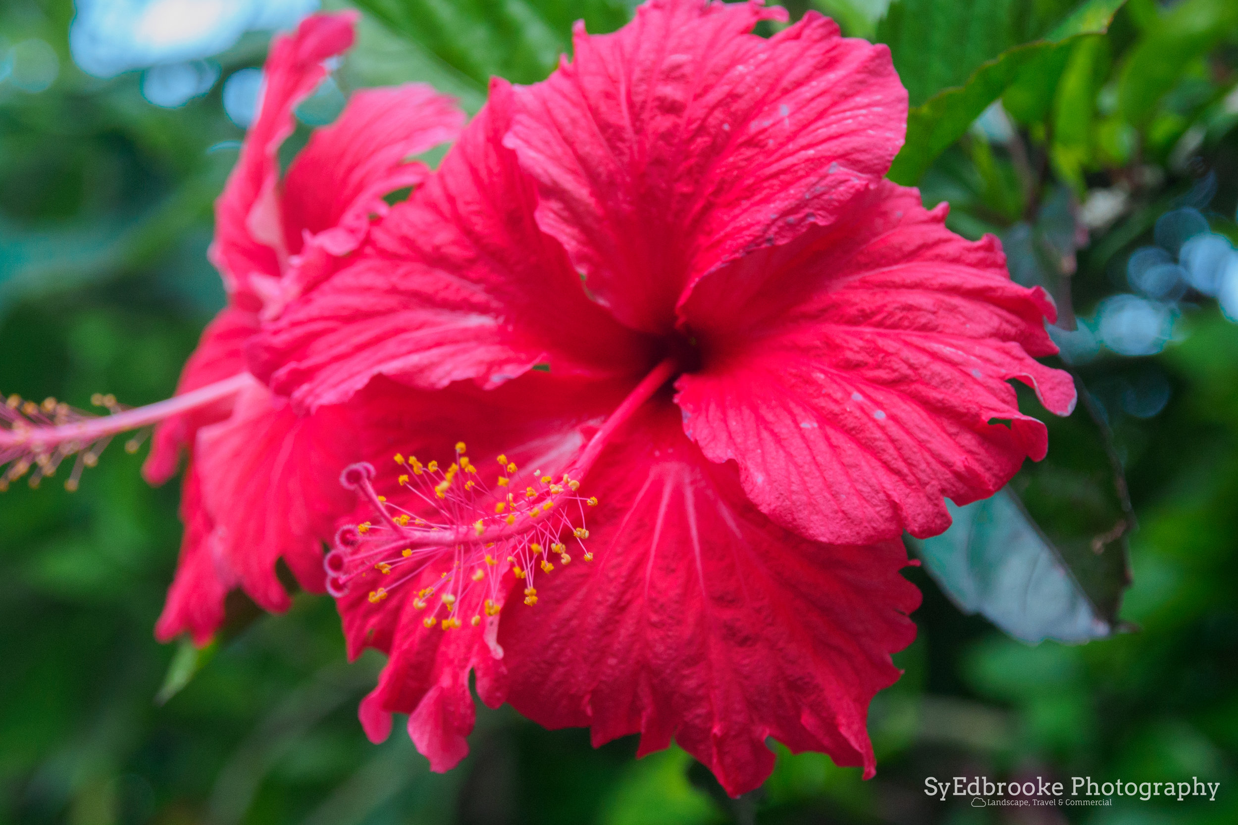
The Bali side of the mountain offers a whole host of different species of flowers and the geography is pretty different too. It's fairly shady on the way down and if keep your eyes peeled, there are some really interesting marco shots of the insects and flowers to be had there. The path is fairly well sign posted so it's hard to get lost. The one tricky part of the route down is once you hit the road. It can be a little confusing, so I put a pin in Bali wharf in Google maps and eyeballed the way down. Most roads in Taipei lead to a main road, which in turn have numerous bus stops so I wasn't too worried. In this case I could see more or less where I was headed so it wasn't tricky. Just follow the road down to the main road near the river bank.
It was actually very peaceful as there was significantly less people on this side of the mountain. The majority of the weekend hikers tended to stick to the opposite side of the mountain which suited me just fine! Part of the fun of these hikes for me is going for a wander and seeing where it takes me. Taiwan has so many little hidden gems that are off the beaten path, It makes exploring worth while, as more often than not you'll find unique perspectives on the landscape.

Saw this little guy hangin' out. f6.3, ISO 1600, 1/30, 43mm

The road back to Bali wharf. f3.5, ISO 200, 1/640, 24mm (stitched panoramic)
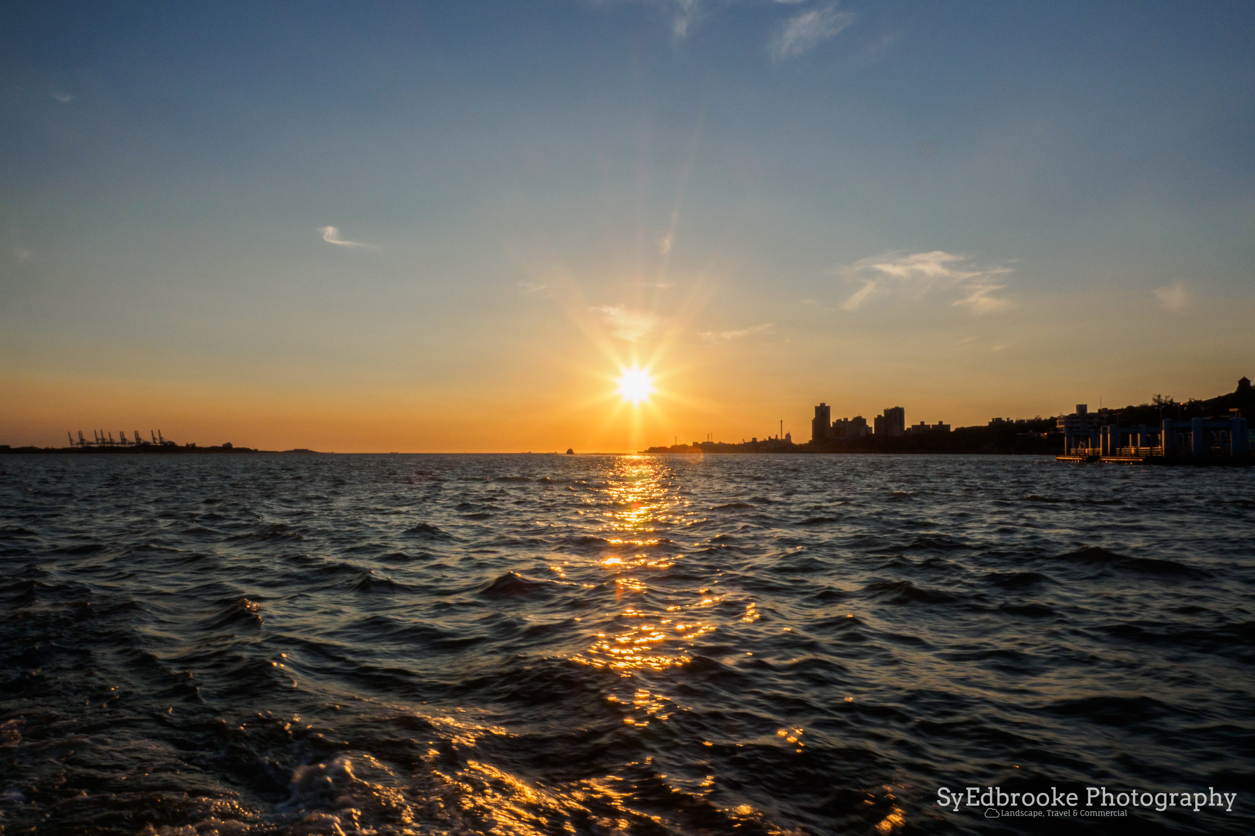
Once you reach the riverside there is a nice little walk along the water, with many chances to snap some nice pictures of either side of the river. If you are feeling up for it, there are quite a few bike rental stops along the way and a pretty cycle track that goes all along the river a fair distance in both directions. There is also a mini night market style area as you get closer to the wharf, which has the classic deep fried style and odd assortments of snacks. Bali or Dansui are both pretty places to chill out for the sunset and evening. The ferry across is around 50nt I think, and MRT cards are accepted to it's pretty short trip across the river to the MRT Dansui station once you feel like going home.

Silhouette central. f11, ISO 200, 1/500, 100mm

Riverside at Bali cycleway. f20, ISO 200, 1/60, 26mm
On the whole I would recommend this one for an intermediate level fitness hiker. It is pretty taxing on the way up, and surprisingly long on the way down. That said with a bit of practice it's well worth it for the view and sunset. For me personally It took me around 5 hours from start to finish, but again it really depends how fast or slow you want to go. Weekends in Dansui are always busy so it might be interesting to see what it is like during the week. Although I would advise against hiking at night here, last you'd want to do is accidentally walk into one of those spiderwebs!
I hope this helps you out if you are thinking of hiking this area, let me know about your experiences hiking here if you have visited already!
Until next time!
Sy Edbrooke