

YuanShan
Hiking Guide

This hike is most suitable for a intermediate level hiker I would say. Unlike most hikes I've covered here, I would suggest that this one is best done at dusk / nighttime. The weather here is unbearably hot year round these days, hiking up even a tiny hill tires out the seasoned hiker. At night there are lights on the first half of the hike all the way up the road. It's a fairly smooth route to the top, it follows the road all the way to the top of the hill and the giant bell there. It's a lot less impact on the knee on the way down compared to the endless steps of YangMingShan.
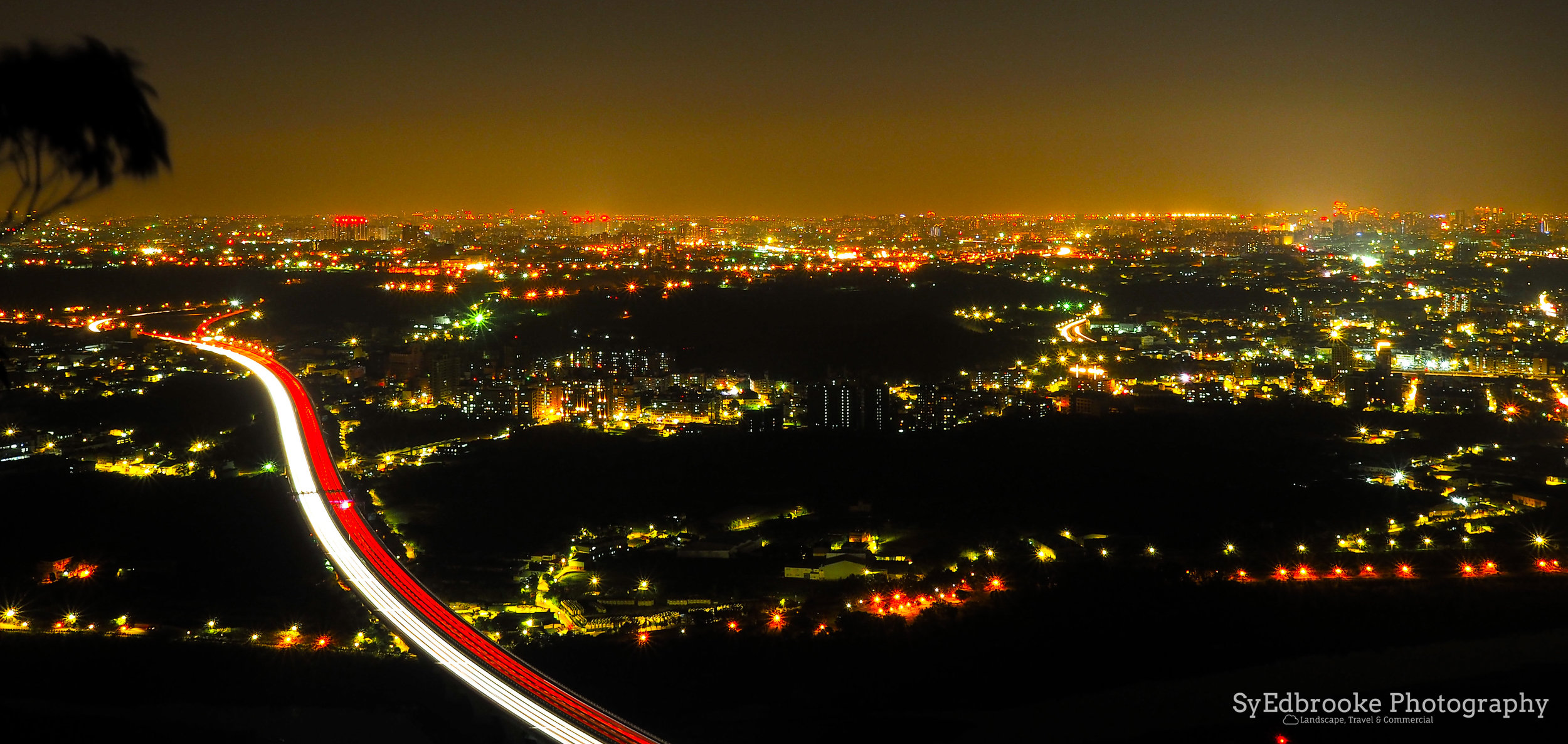
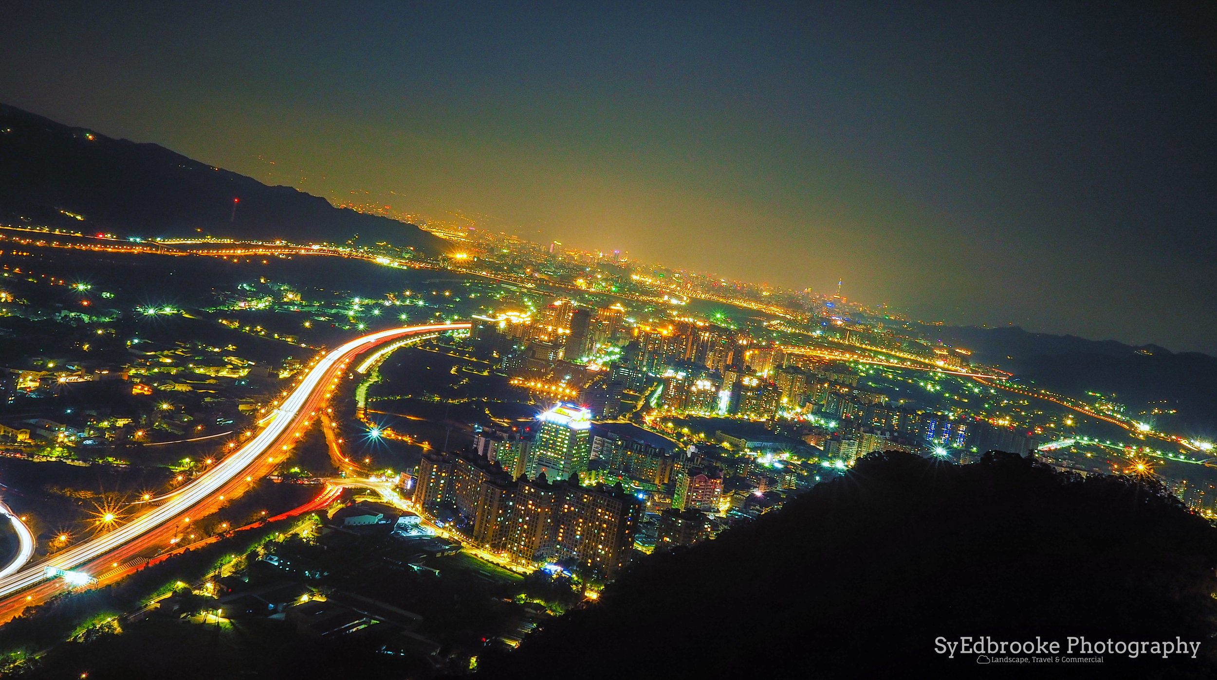
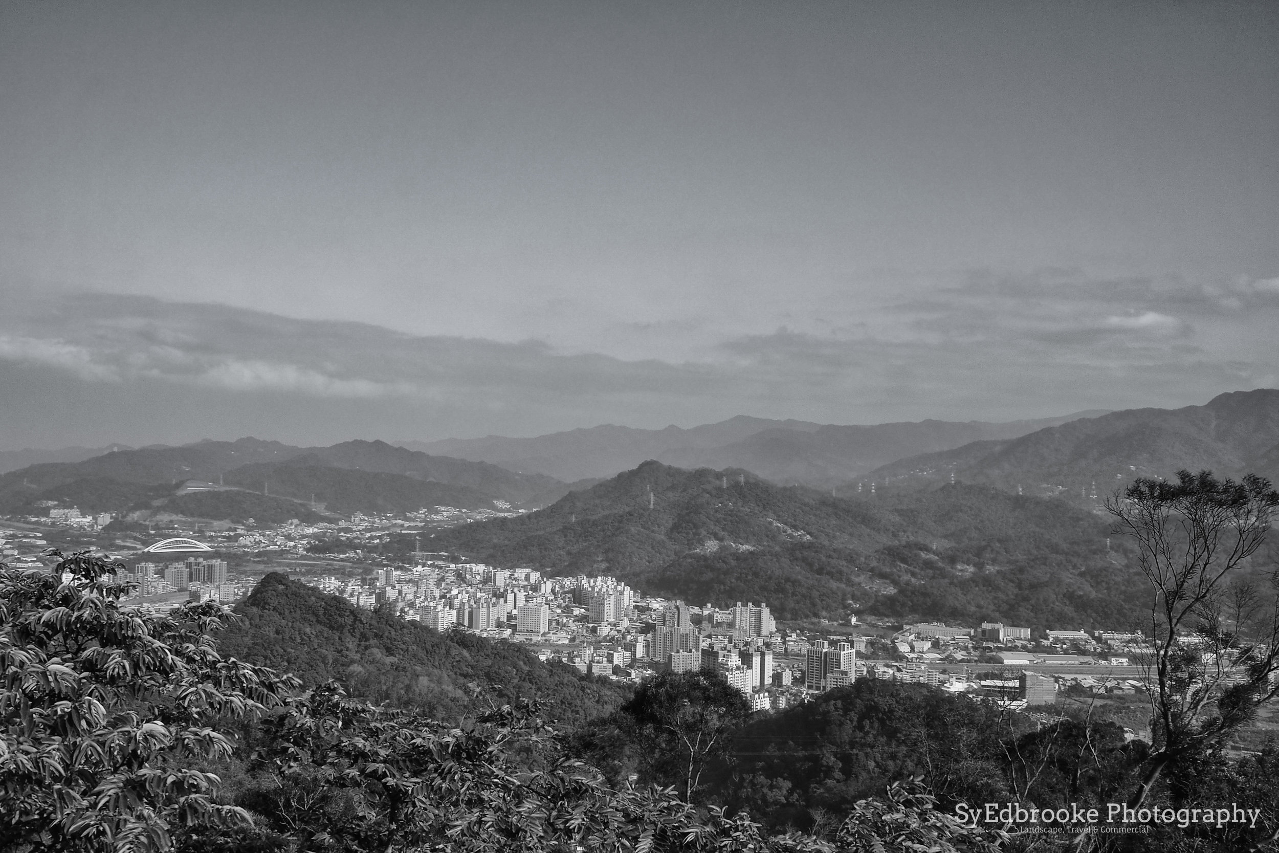
At nighttime, the lookout at the top of the hill has lovely views of Sanxia and Taipei City. With a stable tripod you can get some really nice long exposure shots of the highway and Sanxia. The route starts at Old Street in Sanxia, and follows Yuanfeng road all the way to the bell, and the trail beyond. It is fairly steep in some sections, but levels out now and again. This allows you some time to catch your breath and enjoy some of the lookouts on the way up the road.
I don't have many pictures from the start of the route, so I'll start off this hike at the top of YuanShan and go from there. Once you reach the big bell, the trail heads off up the hill. On the left of the trail there is an innocuous rope and dirt path leading up the right of the hill. There are a few ropes to help you on the climb up this short part of the hike. On the summit, it can be quite windy, so if you climb it at night take a good jacket and light source to help on the way down!

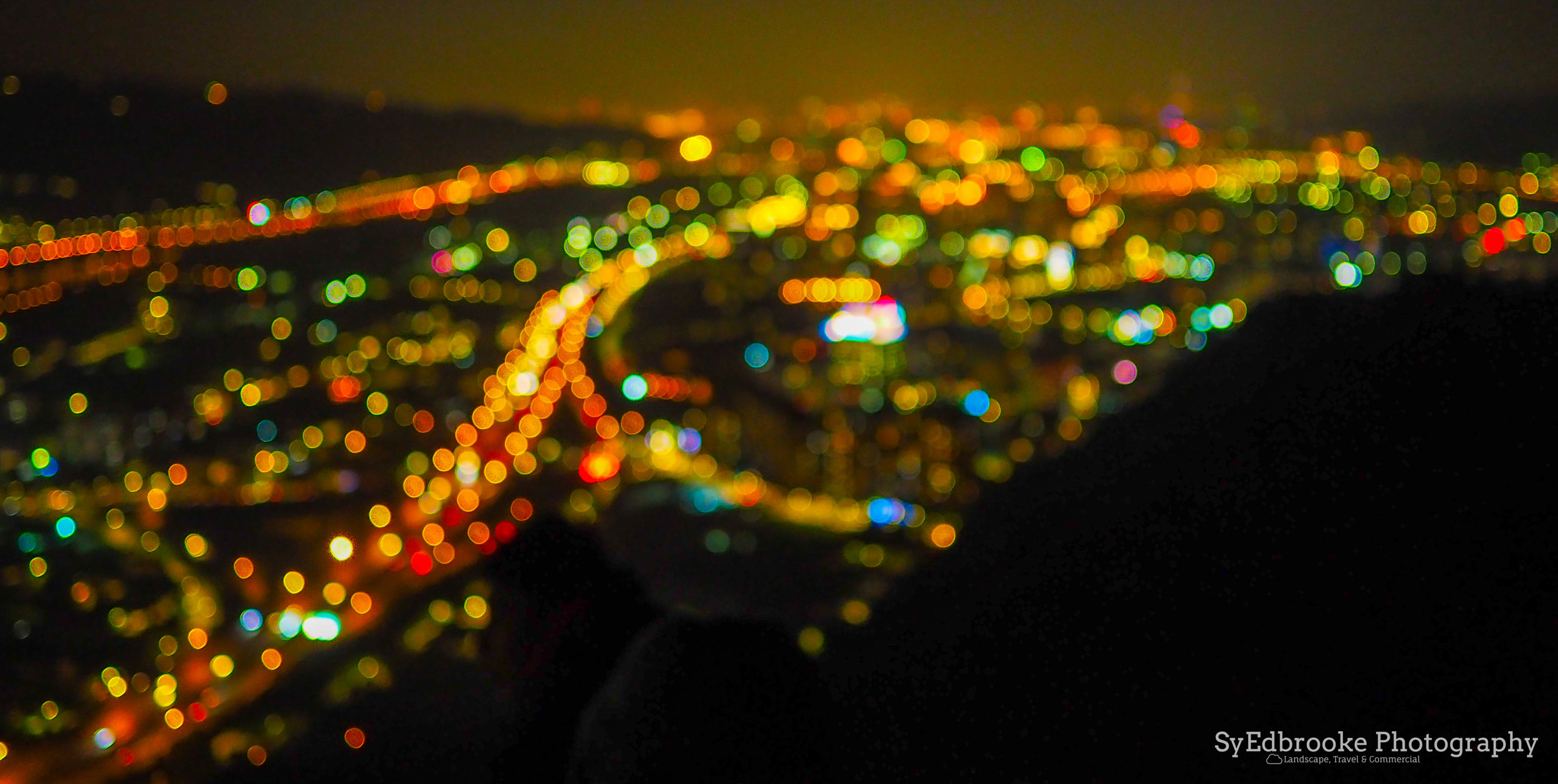
A night view from the Bell. f13, ISO 200, 60, 35mm (stitched)

Silhouettes on the summit. f1.8, ISO 1600, 1/6, 35mm

YuanShan bell. f1.8, ISO 1600, 1/3, 35mm
When I first hiked here at night, I noticed that the path carried on up the ridge and into the darkness. I made a point to come back to and explore where this might lead me if I followed it. I decided to hike there in the late afternoon and sunset on the second occasion of hiking at YuanShan. After the bell, the path starts to turn more off road and muddy the further you go. I would suggest that if you decide to hike further from this point, it would be good to invest in some sturdy hiking shoes. The trail is a little tricky at certain points, it weaves it's way up and down the ridge heading towards Tauyuan and further south.
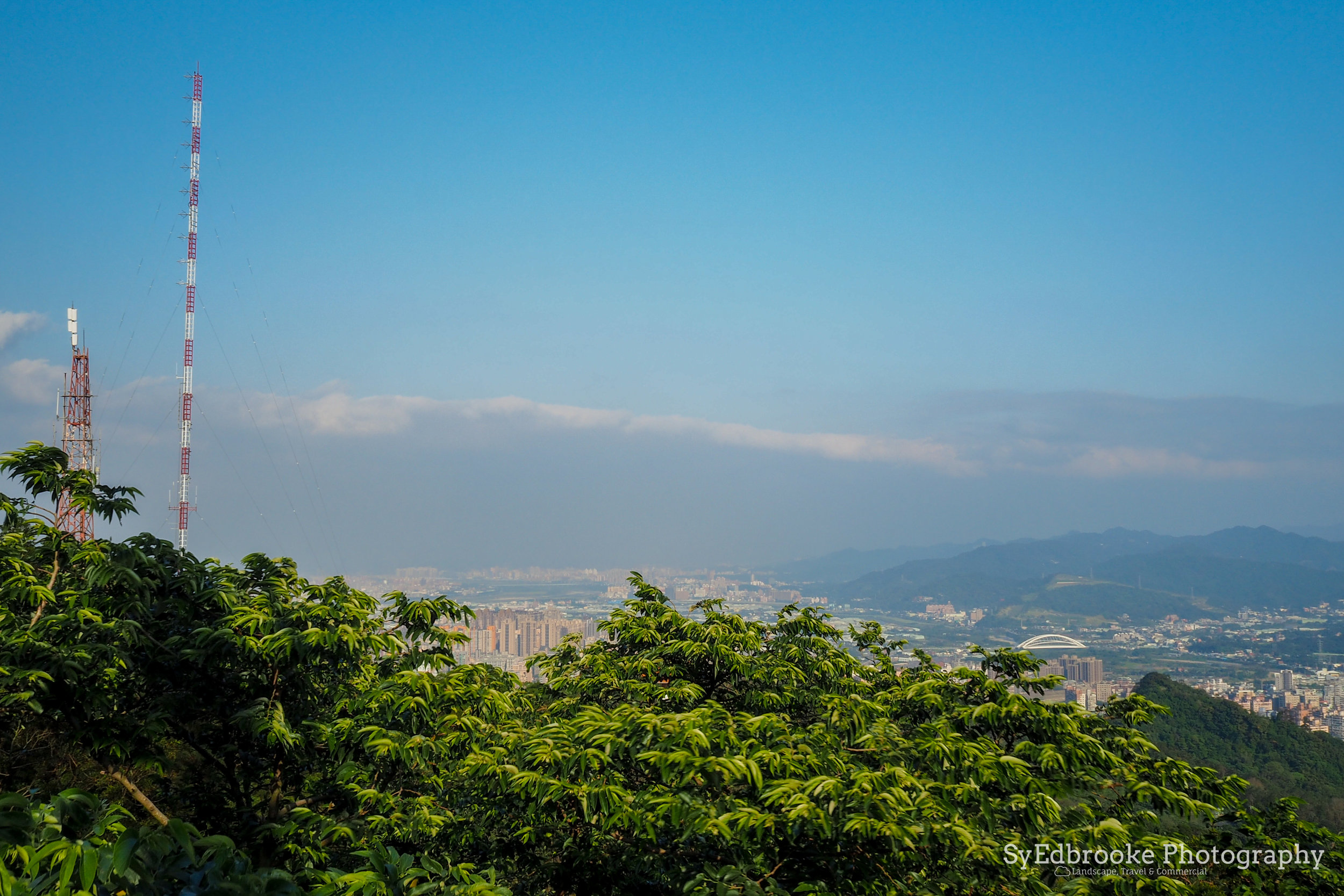
I found a large pylon that is accessible from the path, and it makes an interesting abstract subject to photograph. For anyone with a head for heights, you can climb up the base of the pylon to get a much better view of the valley and mountain range across the way.

looking up at the pylon. f16, ISO 200, 1/20, 35mm

the panoramic view from the pylon. f16, ISO 200, 1/40. 35mm
On the opposite side of the ridge you can get a clear view of Tauyuan and reservoir below. While a nice view, I feel it's a little boring due the the general flatness of the land there. There is a bit of a lack of dramatic landscape on this side of the ridge which is a shame. With all the factories in the Taiyuan area it's often fairly smoggy and hard to get a clear view of horizon.

Tuanyuan side of the ridge. f16, ISO 200, 1/25, 35mm (stitched)
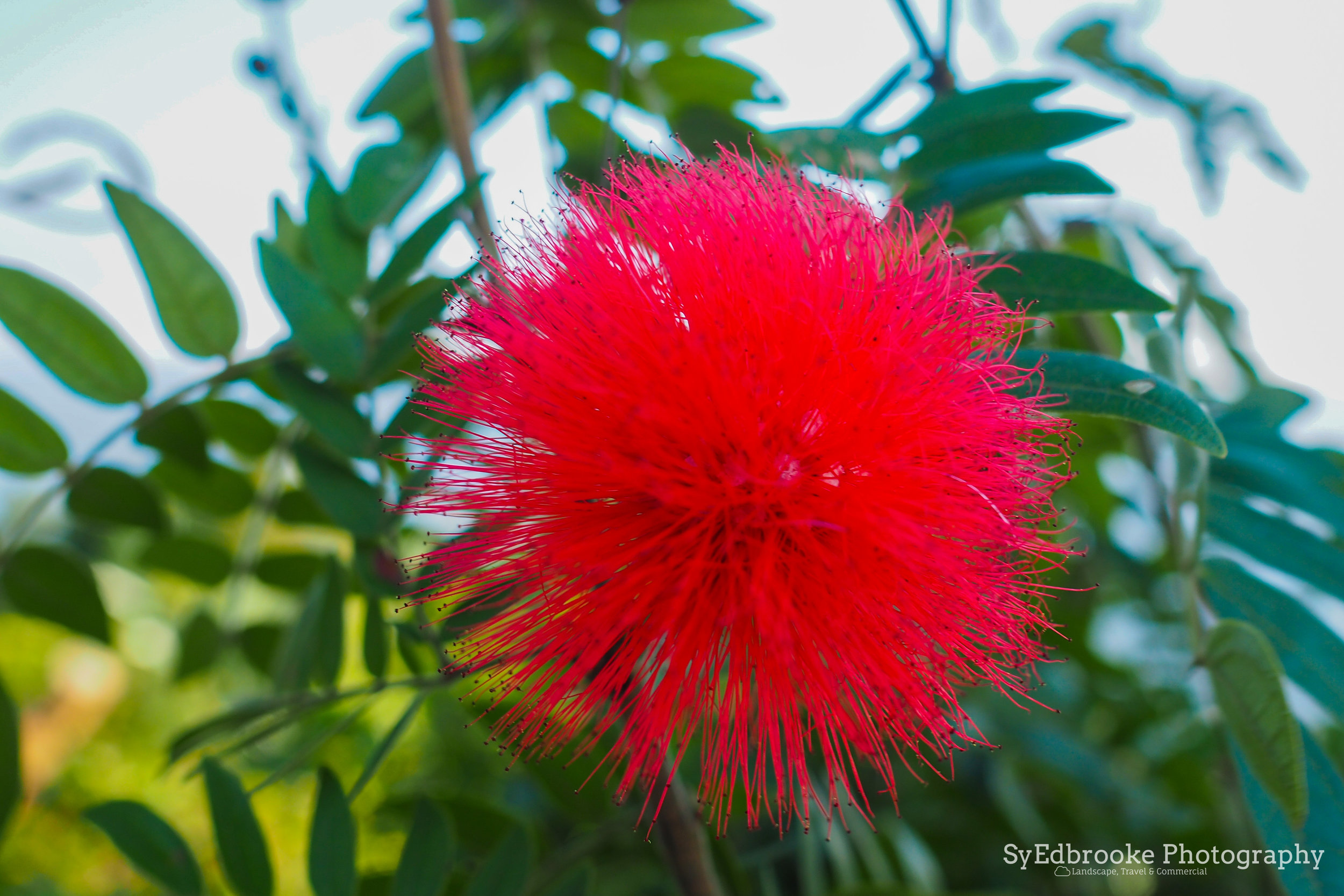
Along the path, there are some quaint little areas where people have built makeshift shelters and flower patches. These little areas are great for some nice macro pictures and are a good place to relax and catch your breath after the hike.

small beginnings. f3.5, ISO 200, 1/80, 35mm
After the first rest area the trail dips down then back up to a larger clearing after about a 20 min hike. It's a fairly nice quiet route though the forest. I only saw one or two other people on the trail compared the busy summit closer to the bell. Although the views here are quite as dramatic, the peace and quiet is refreshing here.

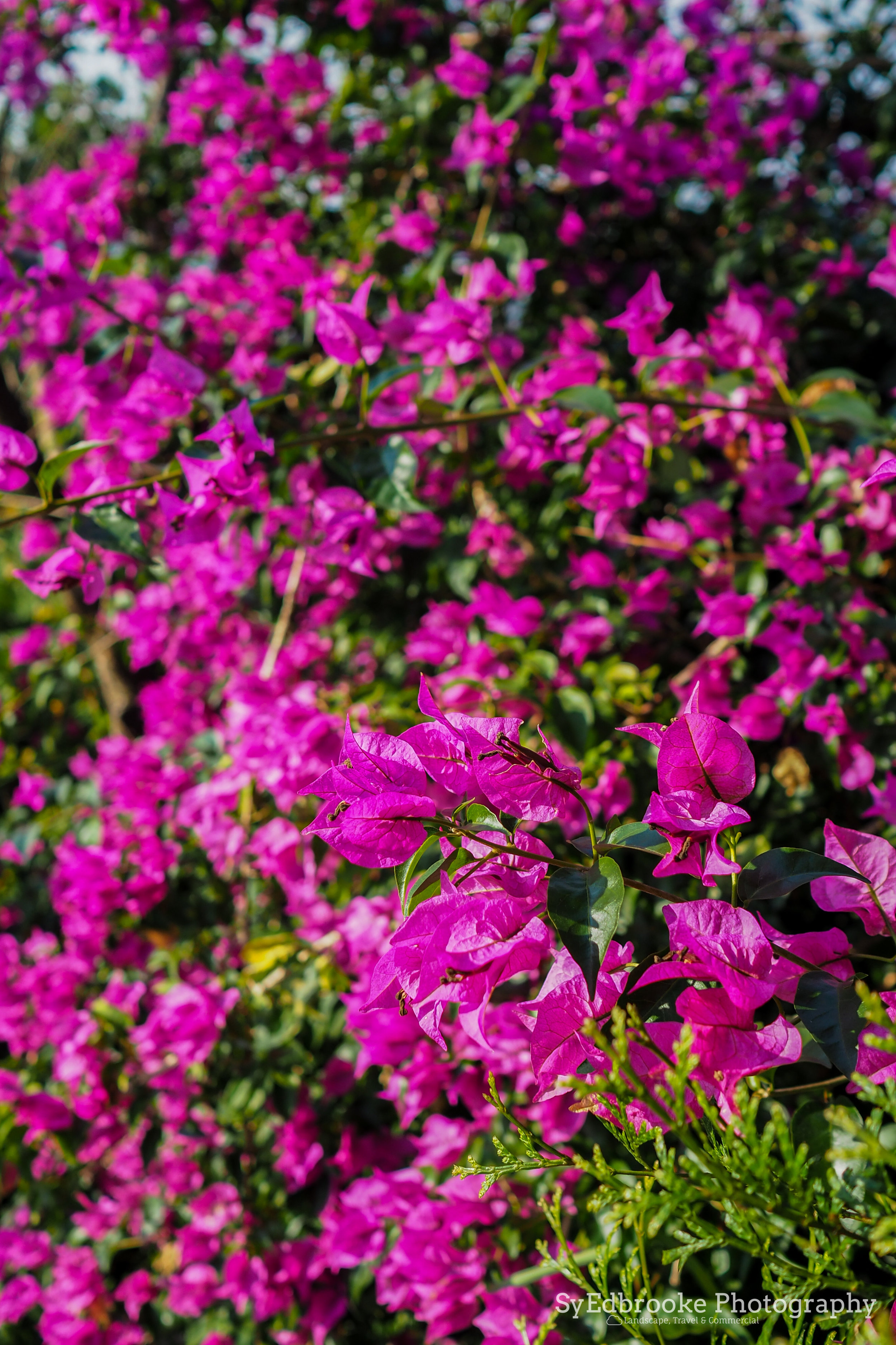
flowers on the way. f1.8, ISO 200, 1/200, 35mm

The forest path. f1.8, ISO 200, 1/200, 35mm

Natural framing. f1.8, ISO 200, 1/2500, 35mm

Tea & mountains. f1.8, ISO 200, 1/500, 35mm

the haze over the mountains. f22, ISO 200, 1/10, 35mm
From the start of the hike, to the third or forth rest area on the ridge it took me around 3 hours to get there. The path stretches on for a much longer way with various paths leading down the ridge left and right at various different points. At this point I was conscious of time and the dying light, so I decided to head back as getting lost in the middle of nowhere on a ridge wasn't a great plan. If I had set off earlier I might have considered pushing on and seeing where it would take me, that is another adventure for another day.
I would recommend this hike for any intermediate hikers and people with a fairly decent fitness level. The route can be stretched to be as long or as short as you like though. You can hike to the bell and back, or to YuanShan etc. It's a fun little night hike that's nice and cool in the heat of the spring and summer in Taiwan.
I hope this is useful to someone reading! Enjoy your own adventures
Until next time!
Sy Edbrooke ^^